Is your daily drive the dealbreaker in choosing where to live? If you’re eyeing McKinley Heights, you probably want a clear picture of what it really takes to get to Downtown, Cortex, Washington University, or SLU on a typical weekday. You’re not alone. Commute time shapes schedules, budgets, and even which listings you tour.
This guide gives you realistic time ranges, route options, and planning tools so you can set expectations and avoid surprises. You’ll see how drive times change with traffic and events, what to expect on Metro Transit, and how parking can add minutes you may not be counting now. Let’s dive in.
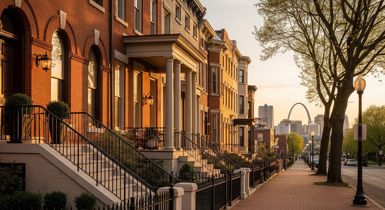
Where McKinley Heights sits
McKinley Heights is an inner-city neighborhood in south-central St. Louis. Because it sits close to the city’s core, you have shorter distances to Downtown, the Cortex and Central West End corridor, Forest Park, and major campuses compared with many suburban locations. That proximity often means faster trips, especially outside rush hour.
Within the city, the same 3 to 6 miles can feel very different from one day to the next. Traffic signals, freeway ramps, event traffic, and parking availability can shift a quick drive into a slower one. Think in ranges, not single averages, and test door-to-door times for your exact addresses and commute windows.
Drive times at a glance
Below are general expectations from McKinley Heights. Use them as planning bands and verify with live navigation at your typical departure time on several weekdays.
Downtown St. Louis
- Off-peak: often 10 to 20 minutes, depending on your specific destination in the Central Business District or near the Gateway Arch.
- Peak periods: 15 to 40 minutes or more. Interchange areas near I-55 and I-44 and bottlenecks into Downtown can slow you down.
- Parking: add 5 to 20 minutes for garage entry, finding a space, and walking to your building. Employer permits or assigned lots can cut that time noticeably.
- Routes: local streets like Gravois, Jefferson, or Broadway work well for many destinations. Some drivers hop onto short I-55 or I-44 segments to bypass lights.
Cortex, Central West End, and Forest Park Southeast
- Off-peak: often 10 to 25 minutes.
- Peak periods: 15 to 40 minutes, mainly due to signal timing and local congestion on major arterials.
- Parking: on-campus or employer-provided parking may be limited and adds a walking component. Factor in 5 to 20 minutes.
- Routes: Jefferson or Grand are common northbound connections. Some trips benefit from short freeway segments to avoid long signal corridors.
Washington University and BJC medical campuses
- Off-peak: typically 15 to 30 minutes to areas around Forest Park and the medical campus.
- Peak periods: 20 to 35 minutes or more, depending on congestion and where you park.
- Parking: campus and medical parking is often controlled by permits. Check policies ahead of time and allow time for garage entry and the walk to your building.
- Routes: most drivers head north or northwest via surface streets; a brief interstate leg can help for certain destinations.
Saint Louis University and downtown medical/academic sites
- Off-peak: similar to Downtown, often 10 to 20 minutes.
- Peak periods: 15 to 40 minutes, influenced by downtown corridor congestion and events.
- Parking: budgets and schedules vary widely by lot or garage. The walk from parking can add 5 to 20 minutes.
- Routes: a mix of local streets and short freeway hops depending on your exact destination.
What slows you down
- Rush-hour volume: Weekday peaks are roughly 7 to 9 a.m. and 4 to 6 p.m.
- Event days: Cardinals, Blues, concerts, and theater can push times much higher. Plan early arrivals for evening events.
- Construction and incidents: Ramps and interchanges are sensitive bottlenecks. Check the Missouri Department of Transportation construction updates for current advisories before you leave.
- Parking search: If you do not have a reserved space, the time to find and access parking is part of your commute. Add a conservative buffer.
Transit options from McKinley Heights
Metro Transit runs the region’s bus and MetroLink rail service and publishes schedules, maps, and real-time tools. You are not directly on a MetroLink station in McKinley Heights, so most rail trips include a bus or park-and-ride transfer.
- Single-bus trips: Door-to-door times to nearby destinations can be 20 to 45 minutes depending on stops, signals, and walking.
- Bus plus MetroLink: For farther trips, plan 30 to 60 minutes or more to account for transfers and wait time. During peak periods, higher frequency can help.
- Frequency matters: Nights and weekends usually mean less frequent service and longer waits. Peak periods often improve reliability.
- First and last mile: Walking, biking, bikeshare or scooter, rideshare, or driving to a nearby MetroLink station are common ways to connect.
Use the Metro Transit tools and trip planner to compare door-to-door options. Pair that with your navigation app’s driving estimates to decide which option fits your schedule and budget.
Sample commute scenarios
Use these as starting points, then test your exact addresses and times.
Off-peak drive to Downtown
- Expect 10 to 20 minutes if traffic is light and your garage entry is smooth.
- Add 5 to 15 minutes if you are parking in a busy structure or need to walk a few blocks.
- Tip: If you are heading to an evening game or concert, arrive 15 to 30 minutes early to beat the rush.
AM peak transit to Cortex or the Central West End
- A bus trip can land around 30 to 60 minutes door to door depending on your stop locations and transfers.
- Bus plus MetroLink can be competitive during rush hour if transfers line up. Check headways in the Metro Transit planner during your specific departure window.
- Tip: Pick a route with fewer transfers for higher reliability.
PM peak drive to Washington University or BJC
- Plan 20 to 35 minutes, plus time for garage entry and walking to your building.
- If you are time sensitive, add a 10 to 20 minute buffer on event-heavy evenings.
- Tip: Compare the cost of a monthly parking permit against potential savings from occasional transit or rideshare.
Parking and cost trade-offs
Parking adds time and money to many commutes into Downtown and the Cortex area. Employers sometimes offer reserved lots, permits, or subsidies, which can make driving more predictable. Transit fares are often modest compared with daily parking rates. If you commute regularly, compare a monthly transit pass against your estimated parking and fuel costs to see what works best for you.
How to test your commute
You can get a realistic picture in one evening and a couple of weekday checks.
- Map precise addresses. Use your exact home and workplace entrances and the garage or lot you will actually use.
- Check drive times at likely departure windows on weekdays. Try 7:30 to 8:30 a.m. and 4:30 to 5:30 p.m. on different days to see variability.
- Compare transit door-to-door. Use the Metro Transit planner and real-time tools during the times you would actually travel. Note walking and transfer time.
- Confirm parking. Ask your employer about permits, subsidies, and expected wait times for garage entry. Add walking time to your desk.
- Consider first and last mile. If biking or scooting is an option, estimate that time and check local bikeway maps.
- Add a buffer. For reliability during peak periods, add 10 to 20 minutes to your plan.
For road work and incident alerts, bookmark the MoDOT traffic and construction resources. For neighborhood context and maps, see the City of St. Louis neighborhood information. If you want broader commute stats for the city and nearby areas, review the U.S. Census Bureau’s American Community Survey commute data as background while you test your personal route.
Set the right expectations
Inside the city, short distances do not always equal quick commutes. The good news is that McKinley Heights keeps you close to core job centers, which makes off-peak trips efficient and gives you multiple route choices when traffic is heavy. With a few trial runs and a reliable buffer, you can build a routine that fits your schedule and your budget.
If you are weighing drive time, transit access, and parking as part of your home search in or near McKinley Heights, we are here to help you evaluate the trade-offs by block and by lifestyle. Reach out to The Winckowski Group for local guidance and neighborhood-level insight that can save you time and stress. Request your free home valuation.
FAQs
What are typical rush-hour drive times from McKinley Heights to Downtown?
- Plan for 15 to 40 minutes depending on congestion, incidents near I-55 or I-44, and parking entry plus the walk to your building.
How long does Metro Transit take from McKinley Heights to Cortex or the Central West End?
- Expect roughly 30 to 60 minutes door to door if a transfer is involved, and 20 to 45 minutes for certain direct bus trips, depending on stops and waits.
Is McKinley Heights close to a MetroLink station for rail service?
- You are not directly on a MetroLink station, so most rail commutes include a bus or a short park-and-ride to connect with the rail line.
How much time should I add for parking in Downtown or Cortex?
- Add 5 to 20 minutes for garage entry, finding a space, and walking to your workplace. Employer permits or assigned parking can reduce this.
How do I check construction or event impacts before I leave?
- Use the Missouri Department of Transportation site for construction and incident updates, and allow extra time on game and concert days.